
![]()
![]()
![]()
![]()
![]()
![]()
![]()
![]()
![]()
Norman, Oklahoma Maps and Aerial Photos
Maps will open in a separate window. This will allow the viewer to keep the map open and toggle back and forth as a point of reference. Maps are very large files and might take longer to download. This allows preservation of map detail. (Note: Norman maps are not active yet.)
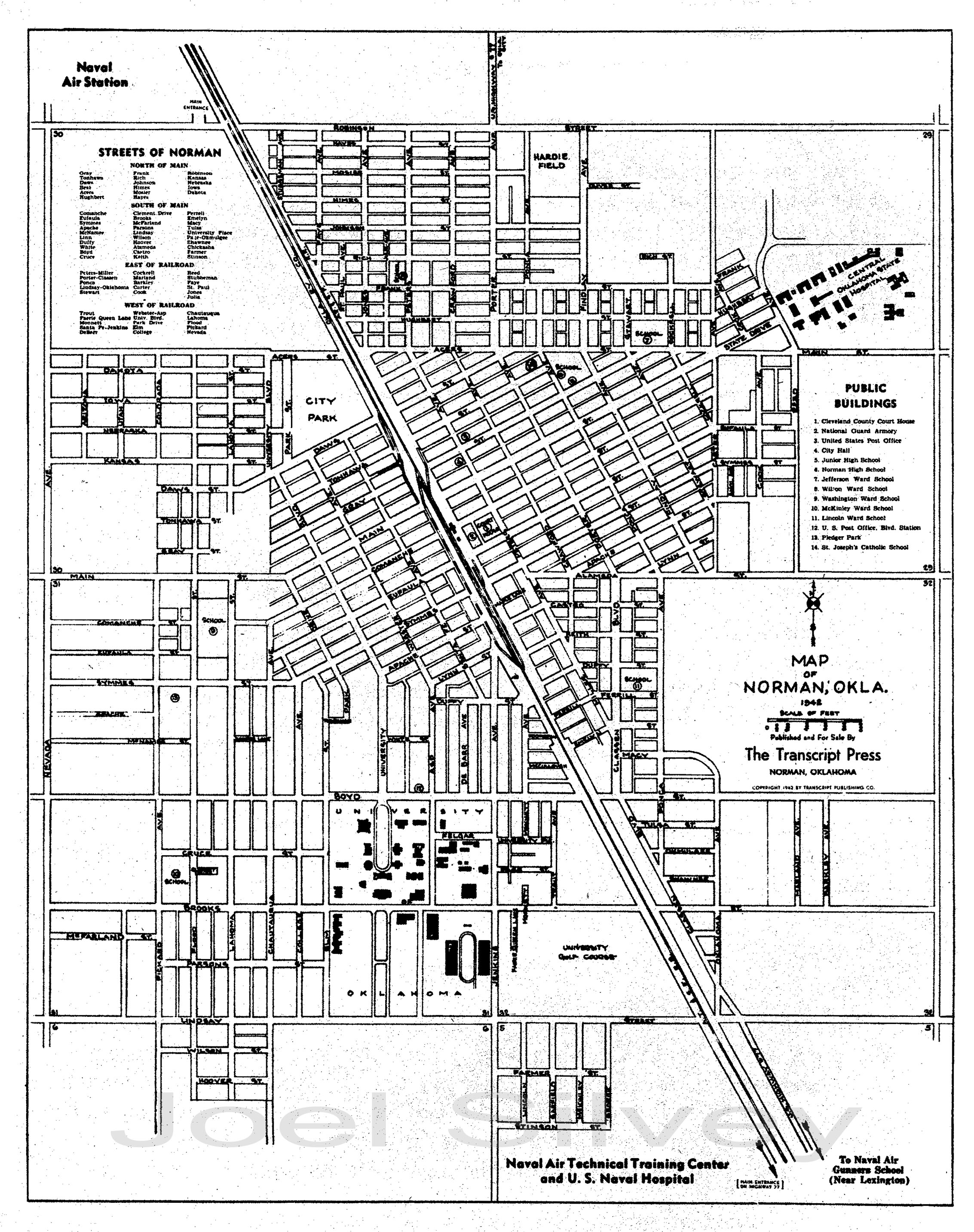
City Of Norman 1942
